Three separate events arranged in association with the Library of Congress Philip Lee Phillips Society and open to all map societies, in person and/or virtually
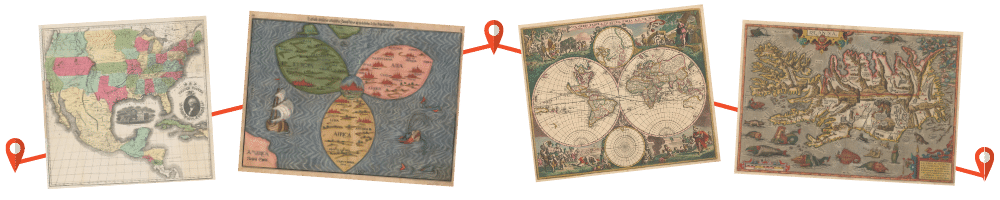
Presentation 1: Title: From Farmsteads to Supercomputers: Mapping the Electoral Demographics of the United States, 1812-Present Speaker: John Hessler, Specialist in Computational Geography and Geographic Information Science and Curator of the Jay I. Kislak Collection of the Archaeology and History of the Early Americas, Library of Congress Location: In person at Library of Congress, Madison Building, Mumford Room (LM Sixth Floor), 3:00 PM ET and Virtual, 3:00 PM ET/2:00 PM CT/ 1:00 PM MT/Noon PT
Presentation 2: Title: Library of Congress, Geography and Map Division, Special Display, Tours and Reception Activity: Visit with curators, explore the collection and enjoy refreshments with other map enthusiasts and friends Location: In person only at Library of Congress, Madison Building, Geography and Map Division Reading Room (LM B02), 4:30-6:00 PM ET Presentation 3: Title: “Will Work for Maps”: A History of the Library of Congress Geography and Map Division Special Map Processing Project Speaker: Laura McElfresh, Cartographic Metadata Librarian, University Libraries, University of Minnesota Location: In person at Library of Congress, Madison Building, Mumford Room (LM Sixth Floor), 7:00 PM ET and Virtual, 7:00 PM ET/6:00 PM CT/ 5:00 PM MT/4:00 PM PT
Hessler Summary: The mapping of the complex electoral makeup of the United States has a long history stretching from the earliest Census and population tabulations at the beginning of the Republic, to the present. From the first simple counts of citizens, enslaved peoples and immigrants, to the use of supercomputers for the drawing of Congressional districts, the numbers, maps and methods have always been controversial. This talk will survey the history of early electoral mapping and present an introduction to the modern computational methods being used to understand the electoral demographics of the United States.
Planning to attend?
Registration is required for each presentation, whether you are attending in person or virtually. Registration links for each event will be forwarded in early October.
© 2021 Washington Map Society. All Rights Reserved.
Contact Us