Sponsored in partnership with California, Chicago, New York, Philip Lee Phillips, Rocky Mountain, and Texas Map Societies.
Location: Zoom
Time: 7:00 PM ET/ 6:00 PM CT/ 5:00 PM MT/ 4:00 PM PT
Title: “Teaching Geopolitics with Maps”
Speaker: Mark Giordano, Vice Dean for Undergraduate Affairs and Professor of Geography, Georgetown University
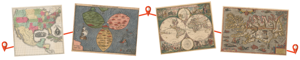
Summary: Georgetown University’s “Map of the Modern World” is likely the largest class in the world that still uses maps to teach geopolitics and world affairs. The current instructor will provide examples of how historic and contemporary maps and custom cartography are used to engage students in global issues and help them understand international challenges from multiple perspectives. Examples in the talk will include a Spanish colonial manuscript map of 18th century South America, maps of migratory bird flyways plotted on two different projections, and Google maps of Crimea generated in multiple countries.
Bio: Mark is Professor of Geography and Vice Dean for Undergraduate Affairs at the Walsh School of Foreign Service. His research focuses on the international political dimensions of water, agriculture and the environment. He teaches classes on those topics and others including “Map of the Modern World.” Prior to Georgetown, Mark held multiple roles at the Sri Lanka based International Water Management Institute, winner of the Stockholm Water Prize--the "Nobel Prize for Water". In his earlier career, he was an agricultural trade economist and a combine mechanic. Most of his professional life was in Asia and Sub-Saharan Africa. He is from Walla Walla, Washington.
Planning to attend?
Click here to register for this Zoom event. After you have registered, you will receive an email with the Meeting ID and passcode for the event.
© 2021 Washington Map Society. All Rights Reserved.
Contact Us