The Washington Map Society Annual Meeting will be held at 6:00 PM, just prior to the lecture. At the Annual Meeting, the Board of Directors will present information on the programs, financials, publications, membership, and social media of the society. Then members will vote on directors for the board. The Zoom link will be the same for both meetings - after the Annual Meeting you will stay in the same Zoom meeting for the lecture.
Sponsored in partnership with California, Chicago, New York, Philip Lee Phillips, Rocky Mountain, and Texas Map Societies.
Location: Zoom
Time: 7:00 PM ET/ 6:00 PM CT/ 5:00 PM MT/ 4:00 PM PT
Title: “‘A Cartographic History of Indian-White Government Relations During the Past 400 Years.”
Speaker: Dan Cole, former GIS Coordinator, Smithsonian Institution, and Research Cartographer, National Museum of Natural History
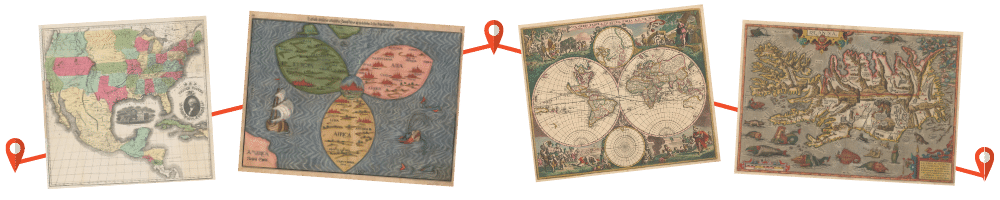
Summary: This presentation offers a historical cartographic examination of Indigenous-EuroAmerican interactions within the United States. It investigates the contributions of governmental, academic, and tribal mapping efforts, integrating these perspectives with various findings. The analysis reveals that government agencies and academic institutions have exchanged cartographic data, engaging in mutual learning with Indigenous tribes; however, the tribes have not always benefited equally from this exchange. These matters pertain to the experiences of Native Americans in the country and are explored to understand the ongoing spatial dynamics within the evolving landscape of Native America. This paper is an updated version of the keynote presentation at the Federal Bar Association's Indian Law Conference in Santa Fe during 2012.
Bio: Daniel G. Cole was the GIS Coordinator of the Smithsonian Institution (SI) until the end of 2024. He worked in this position since 1990, and since 1986, also served as the research cartographer at SI. Prior to working at SI, he worked as a geographer/cartographer at Woods Hole Oceanographic Institution, NOAA, University of Maryland, and Oregon State University. He co-edited (with Imre Sutton) a multi-authored 3-volume book on cartography in Native American affairs, supervised field mapping and GIS analyses of archaeological sites in Mongolia, worked in investigations of biodiversity and species range prediction through the GIS/Remote Sensing interface, and was involved with multiple exhibits at SI.
Planning to attend?
Click here to register for this Zoom event. After you have registered, you will receive an email with the Meeting ID and passcode for the event.
© 2021 Washington Map Society. All Rights Reserved.
Contact Us