|
|
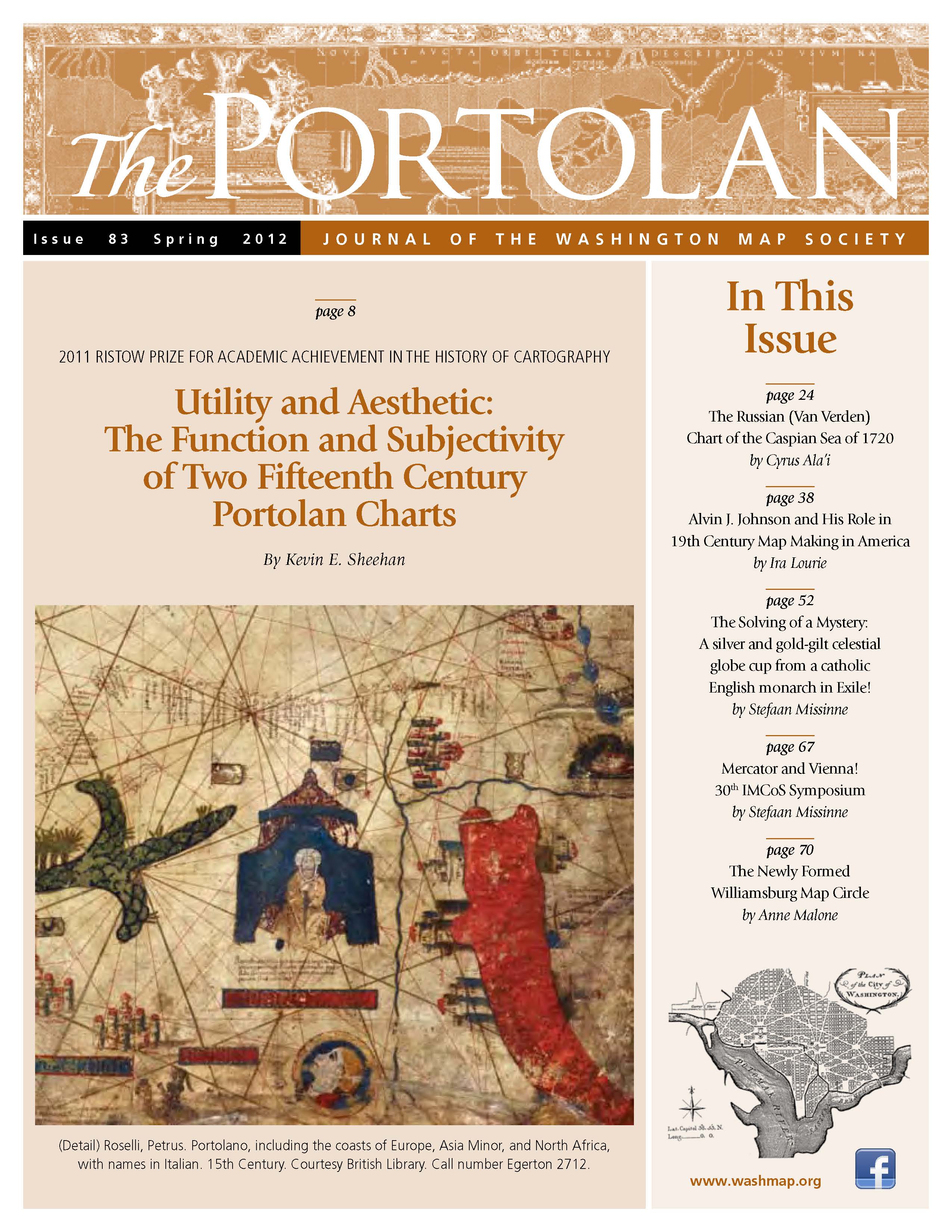
The Portolan Issue #83 - Spring 2012 ARTICLES Utility and Aesthetic: The Function and Subjectivity of Two Fifteenth Century Portolan Charts, by Kevin E. Sheehan The Russian (Van Verden) Chart of the Caspian Sea of 1720, by Cyrus Ala’i Alvin J. Johnson and His Role in 19th Century Map Making in America, by Ira Lourie The Solving of a Mystery: A silver and gold-gilt celestial globe cup from a catholic English monarch in Exile!, by Stefaan Missinne RECENT PUBLICATIONS This regular feature, a bibliographic listing of articles and books appearing worldwide on antique maps and globes and the history of cartography, is compiled by Joel Kovarsky. BOOK REVIEWS German Malta Maps (Reviewer: Bert Johnson) Mapping Latin America – A Cartographic Reader (Reviewer: Anthony Páez Mullan) A Railroad Atlas of the United States in 1946 (Volume 4 - Illinois, Wisconsin, and Upper Michigan) (Reviewer: John F. Baesch) Ortelius Atlas Maps – An Illustrated Guide – Second revised edition (Reviewer: Fred Shauger) Malta Map Society Newsletter (Reviewer: Bert Johnson) SHORTER ITEMS 1. Washington Map Society Meetings, April – September 2012 2. President’s Spring 2012 Letter, by Dennis Gurtz 3. The Newly Formed Williamsburg Map Circle, by Anne Malone 4. Integration of the Antique Map Price Record and OldMaps.com, by Curt Griggs 5. Mercator and Vienna! 30th IMCoS Symposium, by Stefaan Missinne 6. Exhibitions and Meetings 7. Map Site Seeing 8. Ristow Prize Competition 2012 9. Spotlight on the WMS Membership – Janice Downey, Christophe Klein, Kenneth Nebenzahl 10. Cartographic Notes, Compiled by Thomas F. Sander |


