|
|
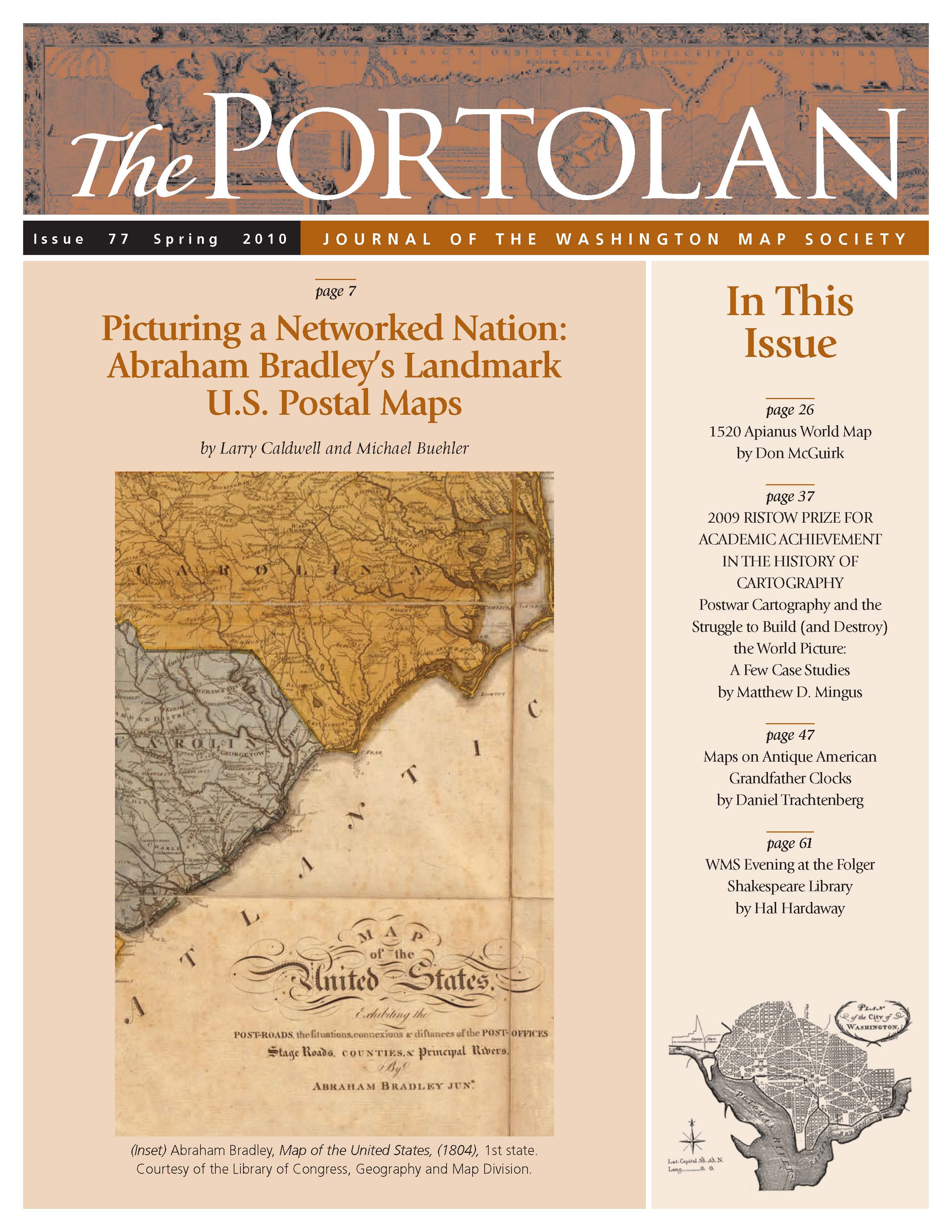
The Portolan Issue #77 - Spring 2010 ARTICLES Picturing a Networked Nation: Abraham Bradley’s Landmark U.S. Postal Maps by Larry Caldwell and Michael Buehler The Forgotten “First Map with the Name of AMERICA” (The 1520 Apianus World Map: History, Census and Comparison with Waldseemüller’s 1507 World Map) by Don McGuirk Postwar Cartography and the Struggle to Build (and Destroy) the World Picture: A Few Case Studies by Matthew D. Mingus Ristow Prize Winner 2009 Maps on Antique American Grandfather Clocks by Daniel Trachtenberg A WMS Evening at the Folger Shakespeare Library by Hal Hardaway RECENT PUBLICATIONS This regular feature, a bibliographic listing of articles and books appearing worldwide on antique maps and globes and the history of cartography, is compiled by Joel Kovarsky. BOOK REVIEWS The Fourth Part of the World: The Race to the Ends of the Earth, and the Epic Story of the Map That Gave America its Name (Reviewer: Peter Porrazzo) The Book of Michael of Rhodes: A 15th Century Maritime Manuscript (Reviewer: Richard Pflederer) Mapping the Footsteps of the Apostle Paul (Reviewer: Bert Johnson) The Writings of David Thompson, Volume 1: The Travels, 1850 Version (Reviewer: James Walker) Miniature Maps of Malta (Reviewer: Howard Lange) Juan Antonio González Cañaveras Planisferio o carta general de la Tierra, Madrid 1800 (Reviewer: Juan Ceva) Strange Maps: An Atlas of Cartographic Curiosities (Reviewer: J.B. Post) SHORTER ITEMS 1. Washington Map Society Meetings, April – May 2010 2. President’s Spring 2010 Letter, by Howard Lange 3. Exhibitions and Meetings 4. Map Site Seeing 5. Ristow Prize Competition 2010 6. Spotlight on the WMS Membership – Patricia Seed, Stefan Shrier, Henry Taliaferro 7. Cartographic Notes, by Thomas F. Sander |


