|
|
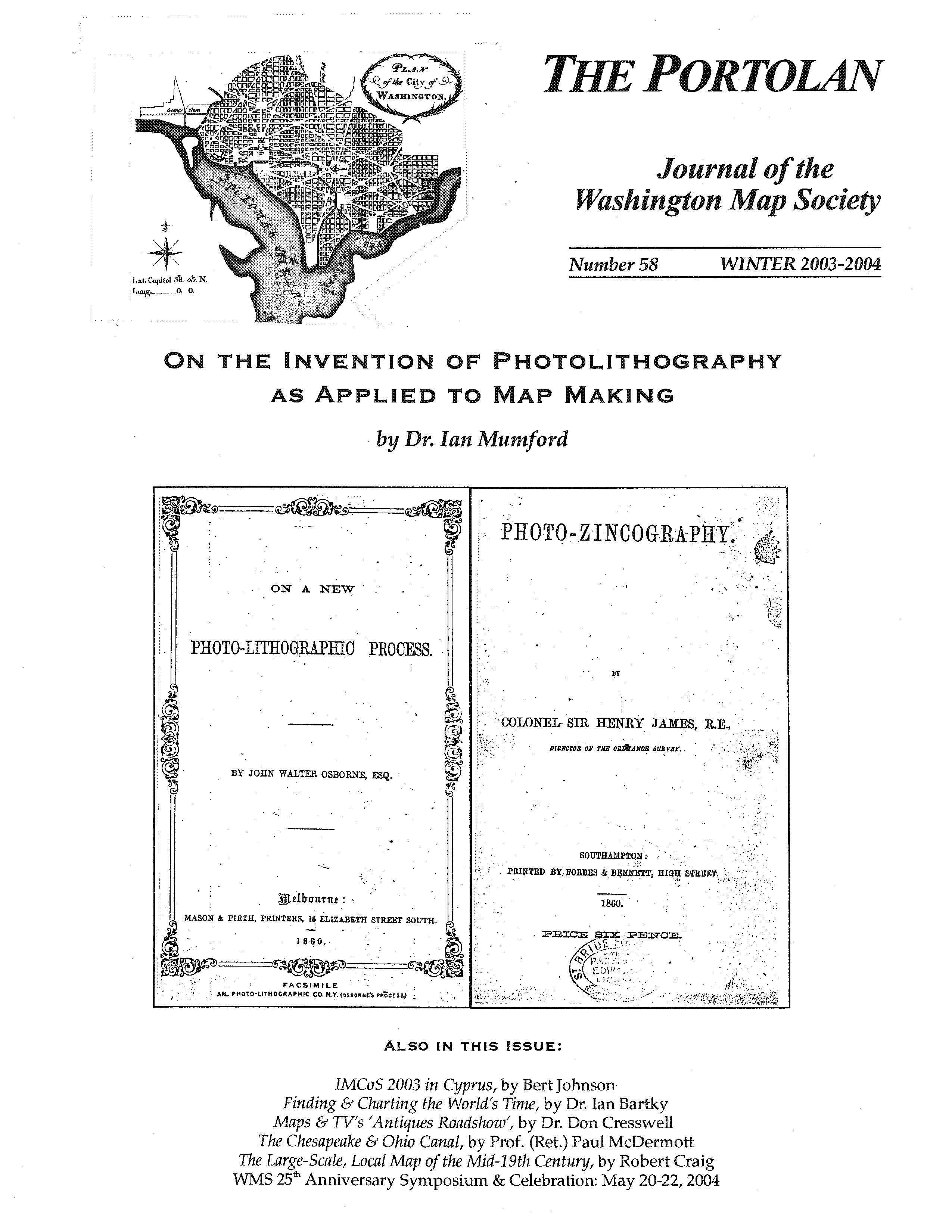
The Portolan Issue #58 - Winter 2003-2004 ARTICLES On the Invention of Photolithography as Applied to Map Making by Dr. Ian Mumford Recognizing a New Genre: The Large-Scale, Local Map of the Mid-19th Century by Robert Craig Finding and Charting the World's Time by Dr. Ian Bartky Maps and TV’s Antiques Roadshow by Dr. Don Cresswell The Chesapeake and Ohio Canal by Prof. (Ret.) Paul McDermott IMCoS 2003 in Cyprus. by Hubert O. Johnson RECENT PUBLICATIONS A regular feature in The Portolan, this is a bibliographic listing of articles and books appearing worldwide on antique maps and globes and the history of cartography. By Eric W. Wolf. BOOK /MAP REVIEWS The Maryland State Archives Atlas of Historical Maps of Maryland 1608-1908 by Edward Papenfuse and Joseph Coale (Reviewer: William A. Stanley) The Mismapping of America by Seymour Schwartz (Reviewer: Richard Stephenson) Erikson, Eskimos & Columbus by James Enterline (Reviewer: Arne Molander) Four Maps: Iran and Tehran by Gitashenasi Cartographic & Geographical Institute (Reviewed by a Washington Map Society member) Map: Lewis & Clark and the Louisiana Purchase by Earl McElfresh (Reviewer: Dr. Charles E. White) SHORTER ITEMS 1. Washington Map Society Meetings, January-May 2004 2. Exhibitions and Meetings 3. Ristow Prize Winners 2003 4. 2004 Ristow Prize Competition 5. A Gift of Maps to the Library of Virginia 6. WMS Anniversary Weekend May 20-22, 2004 7. Herb Spira Obituary 8. WMS/LC Nov. 1, 2003 Workshop on the History of Cartography 9. Washington Map Society Business Meeting – May 15, 2003 10. Spotlight on the Membership – WMS Members Betz, McCorkle, Papenfuse 11. Map Site Seeing: Key World Wide Web map sites 12. Cartographic Notes. By Thomas F. Sander |


